TERRAINRECON
TERRAIN INTELLIGENCE
TERRAINRECON // TERRAIN INTELLIGENCE SYSTEM
Find What The Landscape Is Hiding
Scan publicly available LiDAR terrain data for unusual shapes, forgotten structures, old roads, enclosures, terraces and other features that are almost impossible to see from a normal map.
Then investigate the terrain, history, wildlife, water sources and possible access routes surrounding anything you discover.
SCAN STATUS // COMPLETEINTERFACE PREVIEW · DEMO SCAN
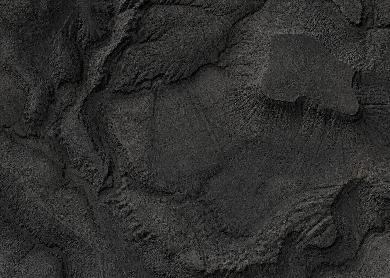
DEMO · GEOMETRIC TERRAIN FEATURE
COORDINATES // 34.5400 / -112.4685
SOURCE // USGS 3DEP · RESOLUTION // 1.0 M
SAMPLE DATA — NOT A REAL DETECTION
TERRAIN SCORE
74
CLASSIFICATION
INTERESTING
MODERN OVERLAP
NONE FOUND
ILLUSTRATIVE INTERFACE PREVIEW — DOES NOT REPRESENT A DISCOVERED LOCATION